


-

"Very nice Posters. The quality is amazing and we received it very quickly !"
-

"A shop to visit absolutely. Huge selection of posters. We spent more than an hour there !"
-

"Perfect to find gift. Price are very good. An they can frame and pack it on site"


About the Artist
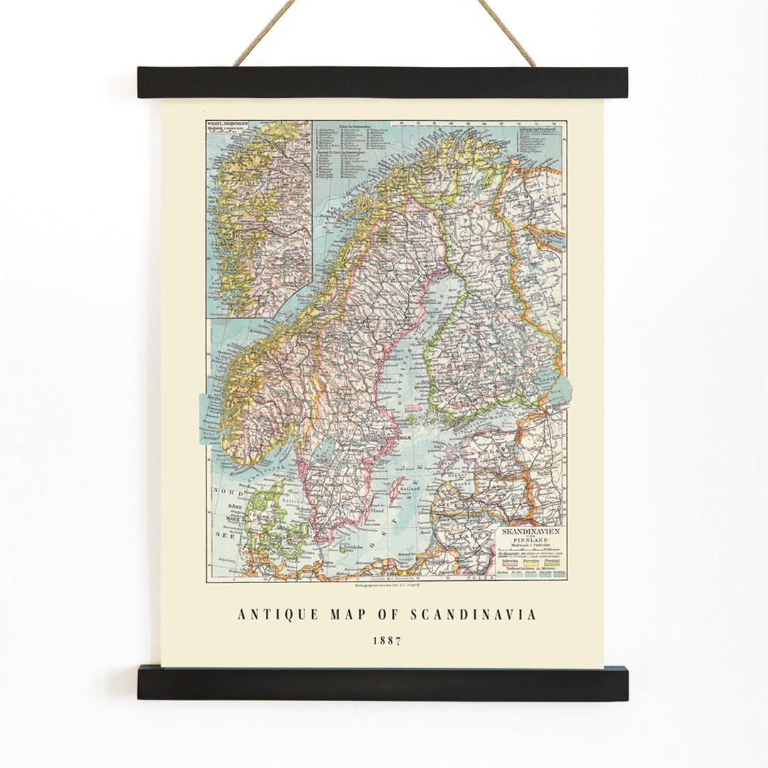
The Institute of Leipzig represents the rich German tradition of nineteenth-century cartographic publishing, during a time when Leipzig was a leading center for printing and scientific advancement. Institutions like this were known for producing detailed, reliable maps for atlases, educational use, and public libraries, reflecting a commitment to both geographic accuracy and refined presentation.
This background situates the piece within a legacy of scholarly mapmaking, appealing to those interested in the intersection of historical knowledge and decorative art.
The Artwork
Published in 1867, this antique map of Scandinavia emerged during a period when accurate cartography was essential for trade, diplomacy, and the shaping of national identities. Scandinavia, with its extensive coastlines and shifting borders, was of particular interest to European audiences seeking to understand the region’s strategic and cultural significance.
Maps like this served as practical tools for navigation and education, while also inviting viewers to imagine distant landscapes and journeys. The work embodies the spirit of nineteenth-century exploration and the enduring fascination with Nordic lands.
Style & Characteristics
The map centers on the distinctive contours of the Scandinavian peninsula and adjacent territories, surrounded by expanses of calm blue sea. Delicate linework and dense, precise place names create an archival feel, while carefully drawn boundary lines establish a clear sense of order.
Subtle pastel shades of yellow, pink, and orange highlight different regions, contrasting with the blue waters to create a harmonious and historic palette. The overall effect is one of clarity and elegance, offering a studious yet inviting vintage print aesthetic.
In Interior Design
This Scandinavia vintage print is well suited for studies, hallways, or living rooms where its details can be appreciated up close. It complements Scandinavian, coastal, and minimalist interiors, as well as traditional libraries seeking a touch of classic cartographic charm.
To enhance the palette, pair with blue ceramics or textiles and balance the warm regional tones with natural woods and neutral walls. Discover more cartographic works in our maps collection, coordinate with blue tone prints, or complete your display with gallery-ready frames.